Cimarron City Library Digital Archives
USDA Aerial Maps of Gray County KS
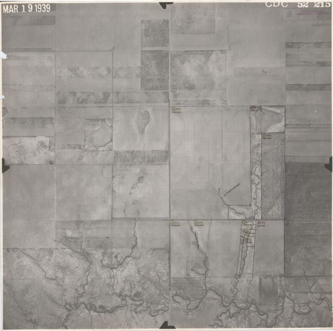
Through the years, the United States Department of Agriculture conducted aerial mapping of the agricultural regions of the United States. As stated in "Aerial Photography Field Office (AFPO) Historical Imagery Holdings For the United States Department of Agriculture (USDA)" by Louise E. Mathews, 2005:
"The use of aerial photography in agricultural programs dates from 1935. After the twin devastations of the Depression and the Dust Bowl, programs were set up to assist farmers…Over the years, agricultural services have expanded, and aerial photography has been used to assist county offices in administering the programs."
The USDA not only recorded agricultural conditions for use at the time, but it also inadvertently recorded "snapshots" in time for future historical research--of particular interest are the maps documenting the Santa Fe Trail. The CCL Digital collections includes maps covering the following years: