Cimarron City Library Digital Archives
USDA Aerial Maps of Santa Fe Trail
1938-1939
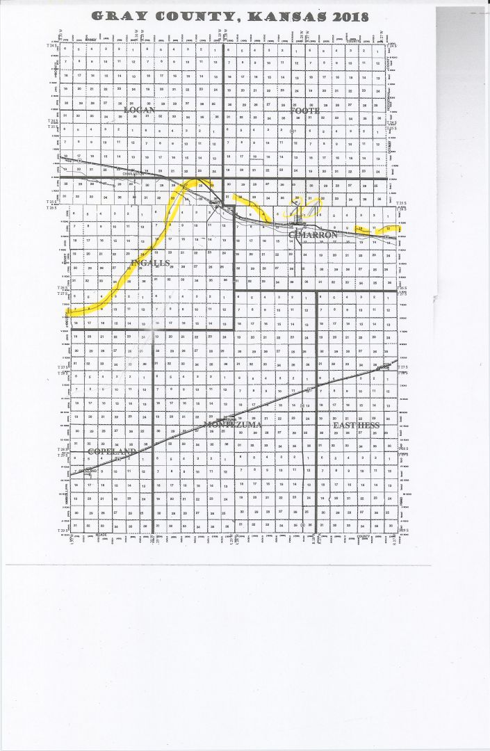
This digitized collection consists of maps taken in an aerial survey of Gray county. It consists of 19 images including a map of the entire county with the Santa Fe Trail highlighted. An index map with an enlarged area of the Trail highlighted with the location of the maps is also included.
The best order to view the maps is listed below (starting from the East side of Gray County going to the West):
| Entire County with Trail Highlighted | |
| Enlarged Area of County with Trail Highlighted | |
| Index #13-7 | |
| Index #13-8 | |
| Index #12-8 | |
| Index #12-7 | |
| Index #11-7 | |
| Index #10-6 | |
| Index #10-7 | |
| Index #9-7 | |
| Index #9-6 | |
| Index #8-7 | |
| Index #8-6 | |
| (Index #7-6 is missing – it would have had the Santa Fe Trail & the town of Ingalls) | |
| Index #6-6 (Cimarron Cut-Off) | |
| Index #5-6 – Southern Route | |
| Index #5-7 – Southern Route | |
| Index #4-7 – Southern Route | |
| Index #4-8 – Southern Route | |
| Index #3-10 – Southern Route | |
| Index #3-11 – Southern Route | |
| Index #2-11 – Southern Route |