Cimarron City Library Digital Archives
USDA Aerial Maps of Gray County KS
1938-1939
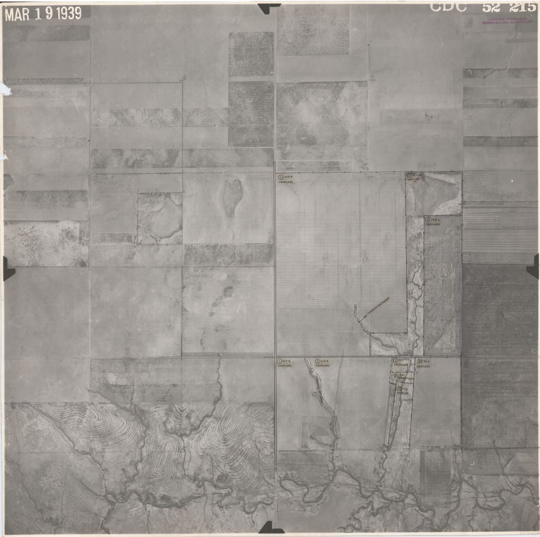
This digitized collection is an aerial survey of the entire county. It consists of 284 images, including an original index used by the conservation agents. The images were taken in swaths with the plane flying North and South. They started on the East side of the county on October 15, 1938, and finished on the West side of the county on May 14, 1939. Many of the maps overlap one another due to the method of photography. Also, there may be more than one Township/Range per map. Most of the maps have written notations on the back. (The backs have not been scanned, but an inventory list exists that notes the notations).
- MISSING 2 MAPS
- Index #7-6: T25 R28 S 30, 31 / T25 R29 S 25,36
- Index #10-9: T26 R28 S 35, 36 / T27 R28 S 2, 1, 11, 12
The collection has been divided by Township/Range/Sections and can be found:
In the case of multiple Townships/Ranges per map, the image has been placed in each of the Township/Range folders.